
Year: 2017
-
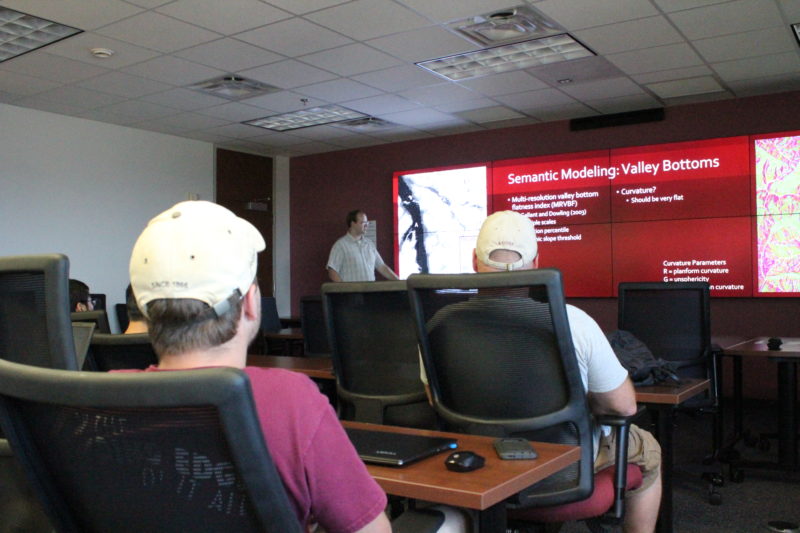
Seminar Recap: Identifying valleys, peaks and rivers, PhD student Brennan Young improves geomorphometric characterizations of complex landforms and surface processes
The average individual might not consider the amount of time, funds, and effort that went into creating the geological maps hanging on their wall. A geologist went out into the field; treaded through, potentially, tough and treacherous terrain; took numerous measurements; and struggled to knit the collected data together into a 2-D representation of the… Read more
-
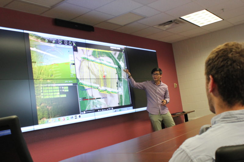
Seminar Recap: Jack Lu shows us that mapping crop development with multiple, simultaneously-running autonomous vehicles is no easy feat
Han-Hsun (Jack) Lu remarks that “It is hard work waiting in 100 degrees outside collecting data.” Yet, based on the problems he and his fellow lab mates solve within their research, it appears that weather is probably the least challenging one. Jack Lu is a master’s student working in Dr. Valasek’s Vehicle’s System and Control Laboratory within aerospace engineering. The research that the lab pursues is not at all trivial. The group endeavors to… Read more
-
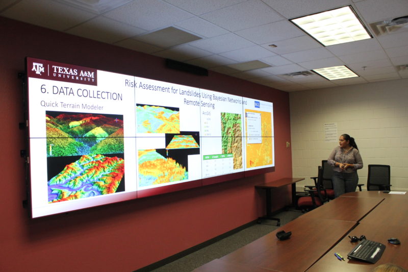
Seminar Recap: PhD student Patricia Varela offers an integrated approach to estimating the regional risk of landslides
PhD student Patricia Varela, of Civil Engineering’s Stochastic Geomechanics Laboratory, kicked off GEOSAT’s fall seminar series with an integrated approach to mapping the risk of landslides over a spatial domain. Patricia Varela and Dr. Medina-Cetina, civil engineering associate professor, used Bayesian Networks to integrate LiDAR derived products such as Canopy Height Models and Digital Terrain… Read more